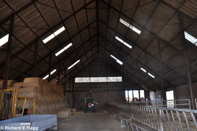
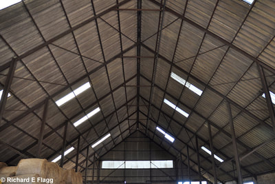
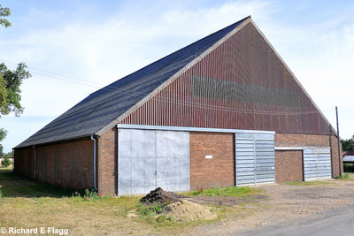
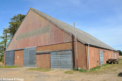
The Red Barns of Norfolk
|
WEBSITE :
|
THIS PAGE UPDATED : 7 May 2018
|
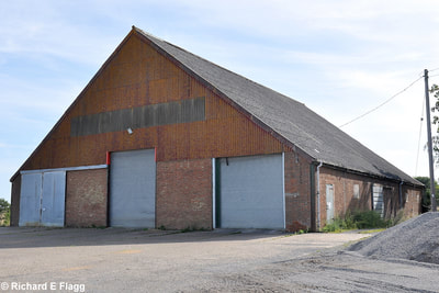
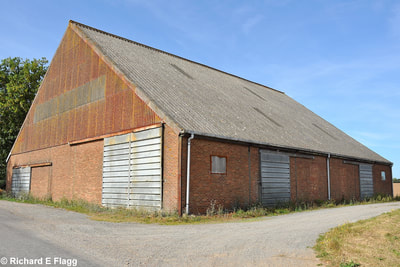
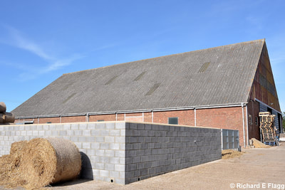
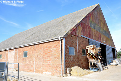
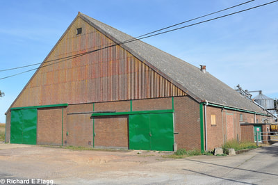
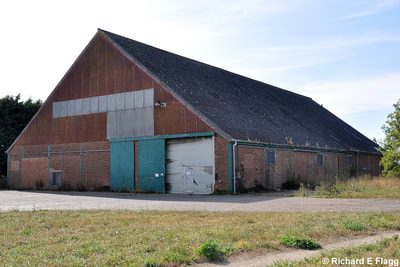
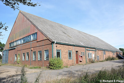
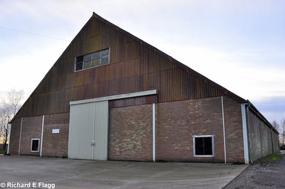
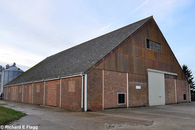
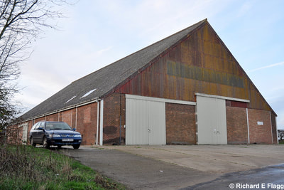
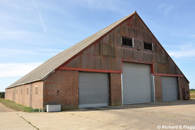
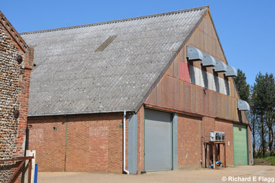
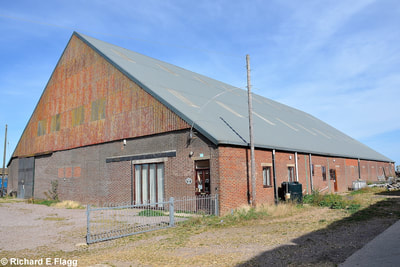
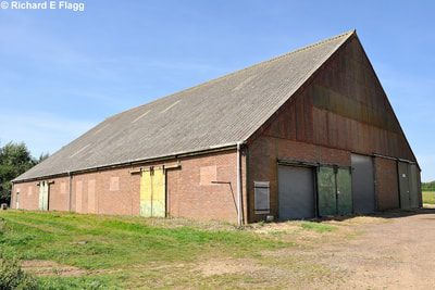
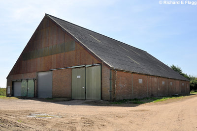
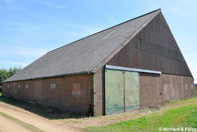
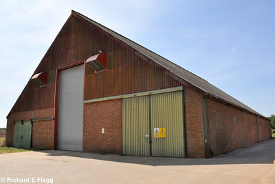
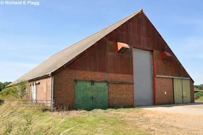
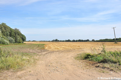
Rumoured to have been constructed as forward landing grounds for a German invasion of the UK, these Red Barns continue to cause speculation as why they appeared in the late 1930's in the fields of Norfolk.
There are reports that the sites came to light in May 1940 when they were over flown by the RAF on a surveying mission. Investigation into them began and some of the Dutch farm workers were arrested. When questioned by the authorities the Dutchmen said the large barns were needed for specialist farm equipment and as nothing could be proved at the time they were released from custody after a couple of weeks.
The barns were built for the Dutch-owned East Anglian Real Property Company (EARP), with the steel for them coming from Head Wrightson & Co, soon to become famous for the construction of the Bellman Hangar.
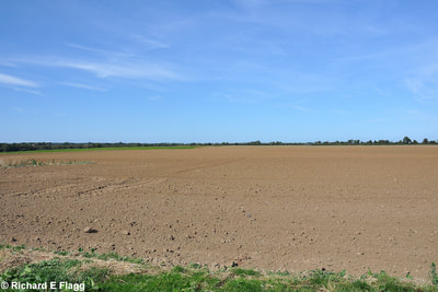
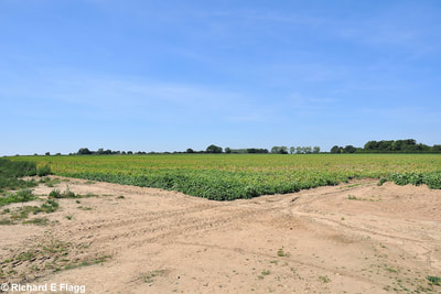
Of all the 8 sites that were recorded, most, if not all had hedges and trees cleared. The resulting fields were roughly 200 acres at each site and the fields were allegedly bare of crops and rolled hard. Some people refer to agricultural lime being laid out in straight lines marking the sites out, but this has never been proved with certainty.
While the fantasist would like to believe there is some truth in these supposed 'German Landing Grounds', I highly doubt this was the case. Should anyone want to give me hard evidence to the contrary then I would welcome it.
|
LOCATION
Beighton
Buckenham (East) Buckenham (West) Cantley (North) Cantley (South) Guestwick (North) Guestwick (South) Halvergate Paston Reedham Sporle (North) Sporle (South) Southrepps |
LAT / LONG
52.622303, 1.520553
52.606387, 1.495402 52.600816, 1.478929 52.593081, 1.512737 52.585549, 1.511990 52.805445, 1.046647 52.797854, 1.047036 52.609660, 1.565126 52.858110, 1.449974 52.573304, 1.577122 52.648313, 0.738704 52.636960, 0.749731 Location not known |
NGR
TG 3839 0854
TG 3672 0668 TG 3567 0603 TG 3799 0525 TG 3803 0441 TG 0545 2744 TG 0552 2659 TG 4147 0729 TG 3235 3453 TG 4245 0327 TF 8538 0915 TF 8616 0790 Location not known |
Beighton
Low Farm, Beighton
Buckenham (East)
Wood Lane Farm, Buckenham
Buckenham (West)
Buckenham Hall Farm, Buckenham
Cantley (North)
Manor Farm, Cantley
Cantley (South)
Burnt House Road, Cantley
Guestwick (North)
Abbey Farm, Guestwick
Guestwick (South)
Station Farm, Guestwick
Halvergate
Tunstall Road, Halvergate
Paston
Hall Farm, Paston
Reedham
Hall Farm, Reedham
Sporle (North)
Town Farm / Petygards, Sporle
Sporle (South)
Town Farm / Petygards, Sporle
